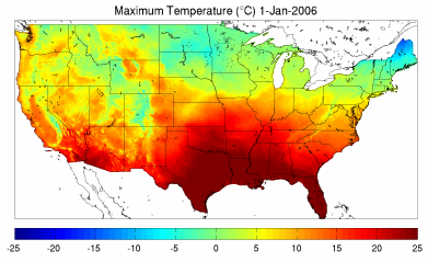
Past Weather Data
The gridMET gridded surface meteorological dataset covers the continental US from 1979-present mapping surface weather variables at a ~4-km spatial grain. This dataset is updated daily.
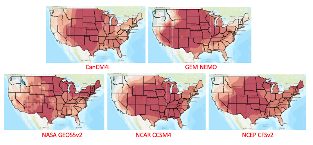
Forecasted Sub-Seasonal & Seasonal Climate Data
Sub-seasonal climate forecasts for the next 30-days ( CFSv2) and for the next 7-months (from 7-models of NMME) were downscaled to a ~4-km spatial grain across the contiguous US.
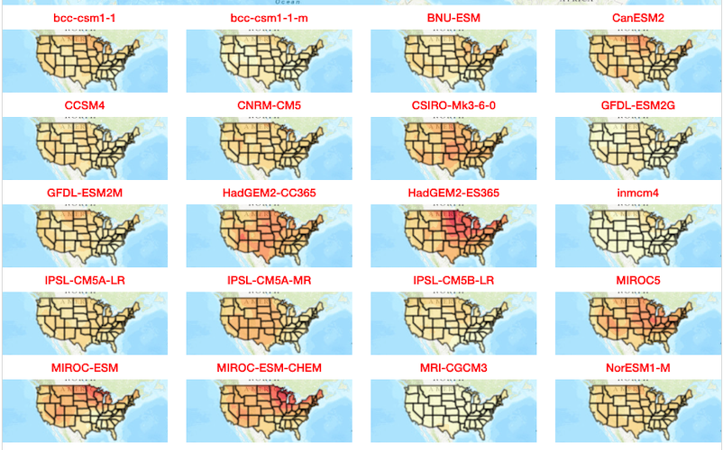
Future Climate Projection Data
CMIP5 future projections from 20 climate models and 2 emission scenarios were downscaled using MACA to a ~4-km resolution across the US for compatibility with the gridded weather data.
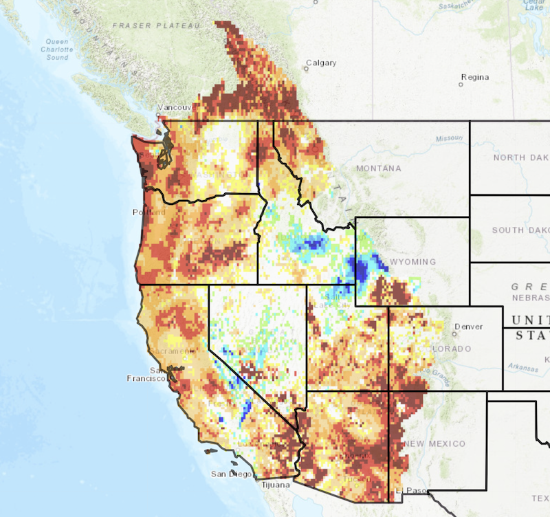
Past Hydrology Data
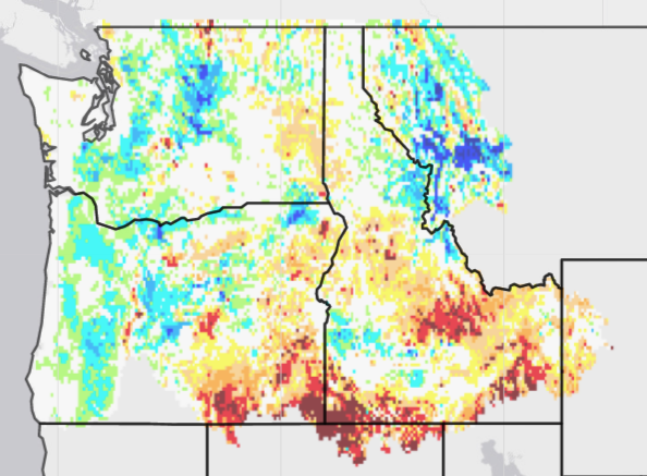
The University of California UCLA runs the VIC hydrology model with climate forcing from the gridMET dataset to cover the Northwest US from 1979-present mapping with surface hydrology variables at a ~4-km spatial grain.
Forecasted Sub-Seasonal & Seasonal Hydrology Data
Sub-seasonal hydrology forecasts for the next 30-days ( CFSv2) and for the next 7-months (from 7-models of NMME) were run using the VIC hydrology model at ~4-km spatial grain across the Northwest US.
Future Hydrology & Streamflow Projection Data
Downscaled projections from 20 climate models and 2 scenarios were run through the VIC hydrology model to produce gridded hydrology outputs and routed into streams over the Northwest US.